Exploration Graph.
A knowledge graph of the American West — built to find what every map and guidebook leaves out. This is the case study of building it.
Thirty years in, still scratching the surface.
I've been exploring the San Rafael Swell for thirty years. Long enough to learn the one rule that actually works: pick one new place each trip. Anything more is a gamble — a long drive that doesn't pan out, a day you don't get back.
The guidebooks don't help you choose. Each one is good on its own — none of them talk to each other. And after thirty years, I've learned the harder thing: I haven't even scratched the surface. There's far more to explore than any single book can point me to.
Every labelled point is a place this case study names. Behind them, roughly 4,900 more known places fill the same county — and this is one county.
The answer was never in one book.
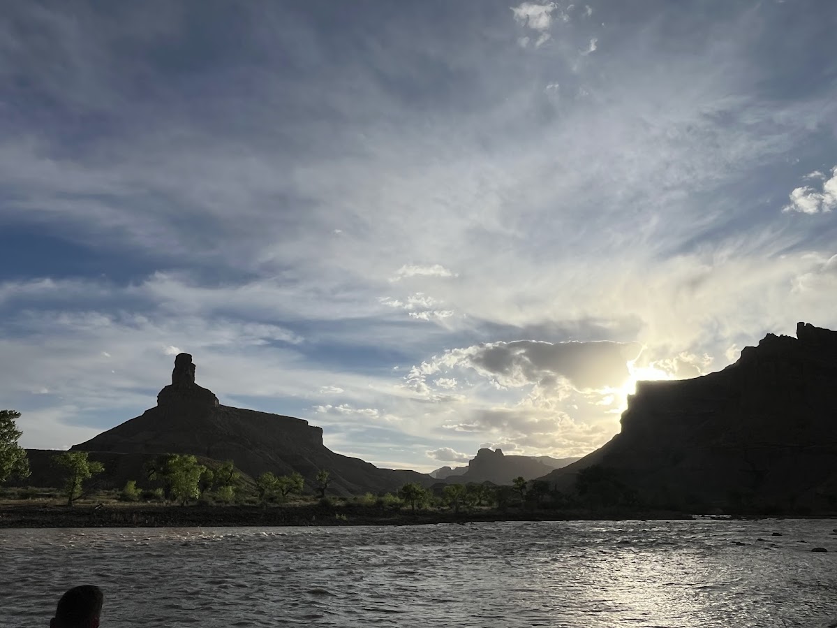
Years of research paid off — just not the way I expected. I'd read across every genre I could find: geology books, ghost-town histories, rockhounding guides, off-road atlases, old outlaw stories. Each one knew something the others didn't. The places worth the trip were always where the books overlapped — a wash with an old mine around the bend, outlaw history in the canyon above it, and agate on the ground if you knew to look.
For a couple of years I kept circling the same idea: the combination is the thing no book can give you, but a computer could. AI finally made it possible — stitch the open data together, let it find the overlaps for me. I wouldn't have started without the momentum from Open Brain — once I'd built one system that captured an idea and ran with it, this one stopped feeling out of reach. I captured the idea, then went looking for the data.
Where the recommendations come from.
Everything in the graph comes from public, authoritative data — the kind of sources geologists and land managers actually use. No scraped blogs, no guesswork. If the system says a canyon has a uranium mine and Morrison Formation outcrops, it's because the USGS and the Utah Geological Survey say so.
| Source | Type | Contributes |
|---|---|---|
| In the graph today | ||
| GNIS USGS |
Survey data | Place names |
| Land ownership State of Utah · SGID |
Official records | Land manager |
| UMOS Utah Geological Survey |
Survey data | Minerals |
| Mining districts Utah Geological Survey |
Survey data | Districts |
| Geologic maps Utah Geological Survey |
Survey data | Bedrock |
| Mining claims · MLRS Bureau of Land Management |
Official records | Active claims |
| Historic newspapers Library of Congress · U of U |
Historical record | History |
| Recreation data Recreation.gov · State Parks |
Official records | Recreation |
| On the roadmap | ||
| Roads & trails OpenStreetMap |
Open data | Travel routes |
| Elevation · 3DEP USGS |
Survey data | Terrain & viewsheds |
| Hydrography · NHD USGS |
Survey data | Springs & water |
| Fossil localities Paleobiology Database |
Survey data | Fossils |
| Historic topo maps USGS topoView |
Historical record | Vanished features |
For a single Utah county, that's roughly 5,000 places, 3,300 active mining claims, and a century of newspaper text — and the same model runs anywhere in the West.
The value is in the combination.
A pile of datasets isn't a discovery engine. The value isn't in any one layer — it's in how they combine. Each source becomes a layer the graph can reason across: what a place means, where it sits, what it's mentioned alongside, what was written about it a hundred years ago, and who manages the ground. Join any two, and you surface something a single search would miss.
Three ways to ask.
The layers pay off as three queries — and every answer is grounded in real data, not a guess.
Designed to withhold.
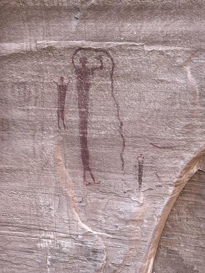
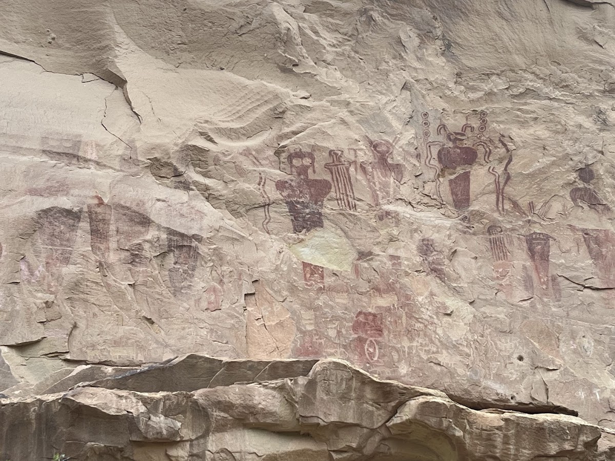
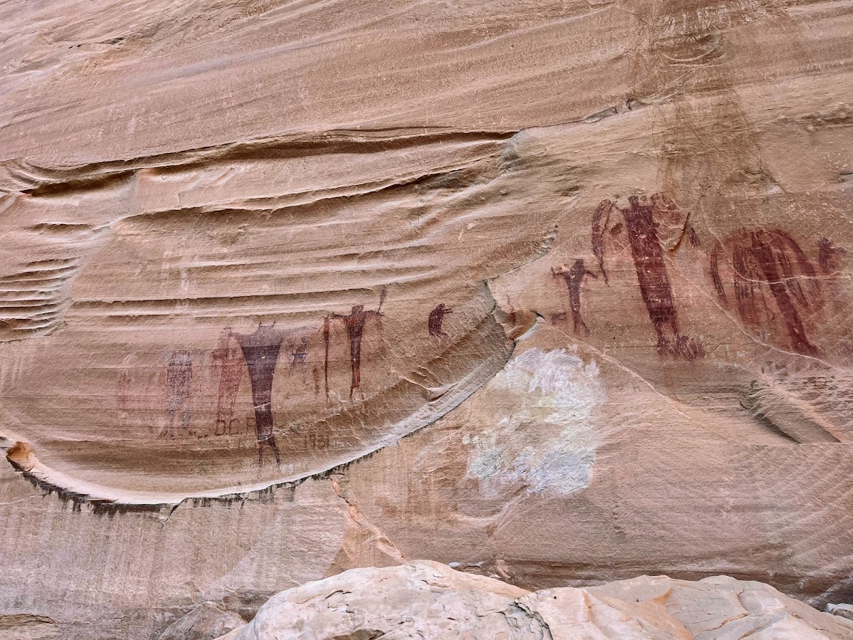
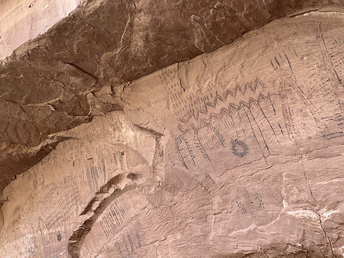
Some places shouldn't be easy to find. Rock art and fossil sites are protected by law — and by common sense. The system knows what's sensitive and withholds the coordinates, even from me. And because the history is pulled by AI, every extracted fact has to be grounded in the source text — if the model can't point to the words, the fact doesn't get in. One pass tried to add "Goblin Valley is a popular tourist destination" to a 1912 newspaper. It wasn't in the text. It didn't make it in.
I built it for myself first.
It runs on my phone, out in the field — I can ask it what's worth the detour, and it answers from the same data I spent years reading by hand.
"What's interesting near Goblin Valley?"
Wild Horse Butte (1.3 km), Mollys Castle (2.1 km), Crack Canyon (2.2 km) — each with the geology, the district, and any historical mentions on file.
The rule hasn't changed — still one new place each trip. What changed is how I choose it. Thirty years in, I finally have something that points me past the places I already know, toward the ones I haven't found yet. That was the whole idea: you can know a place your whole life and still have so much left to explore.